17 April 2024
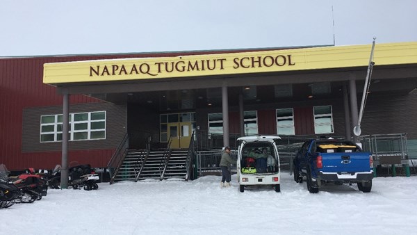
As a part of a science education project lead by Alaska Satellite Facility (ASF) scientist Helena Buurman, middle school and high school students from the Napaaġtumiut school located on the Noatak River built their own drones, learned science applications and safety protocols, and went through an intensive flight school on April 2-4, 2024.
 Dr. Buurman was accompanied by ASF scientists McKade Sorensen and Christie Fleming who assisted in drone flight training and safety. Fresh Eyes on Ice personnel Melanie Engram and Lydia Andriesen led ice-related activities in the classrooms, including matching oblique photos with satellite imagery, and an advanced engineering challenge where students designed and built payloads for their small drones, then test-drove them.
Students also got a chance to fly mini DJI drones, larger than the drones they assembled, which were outfitted with cameras in the gym to take pictures of “rivers” on the other side of the gym.

The community was invited for dinner and a drone flying demonstration by the students as they maneuvered their drones through an elaborate obstacle course in the gym.
With the help of Napaaġtumiut school instructor Brett Pietila and Fresh Eyes personnel, students braved the cold windy weather to take snow depth and ice thickness measurements on the nearby lake, marking observation locations with a hand-held GPS unit.

Students matched their ice thickness measurements with predictions they made before going out on the ~90 cm late winter ice.

Many thanks to Noatak teachers, students, and community members for hosting our visit to your cheerful community!